ikfoundation.org
The IK Foundation
Promoting Natural & Cultural History
Since 1988
- WELCOME
- THE IK WORKSHOP SOCIETY
- THE FIELD STATION LAB
- THE DONATION ROOM
- BOOKS & ART0


- CONTACT
iFellows Sign In
Find out more about becoming an iFellow...My Basket
Items: 0Total: €0.00
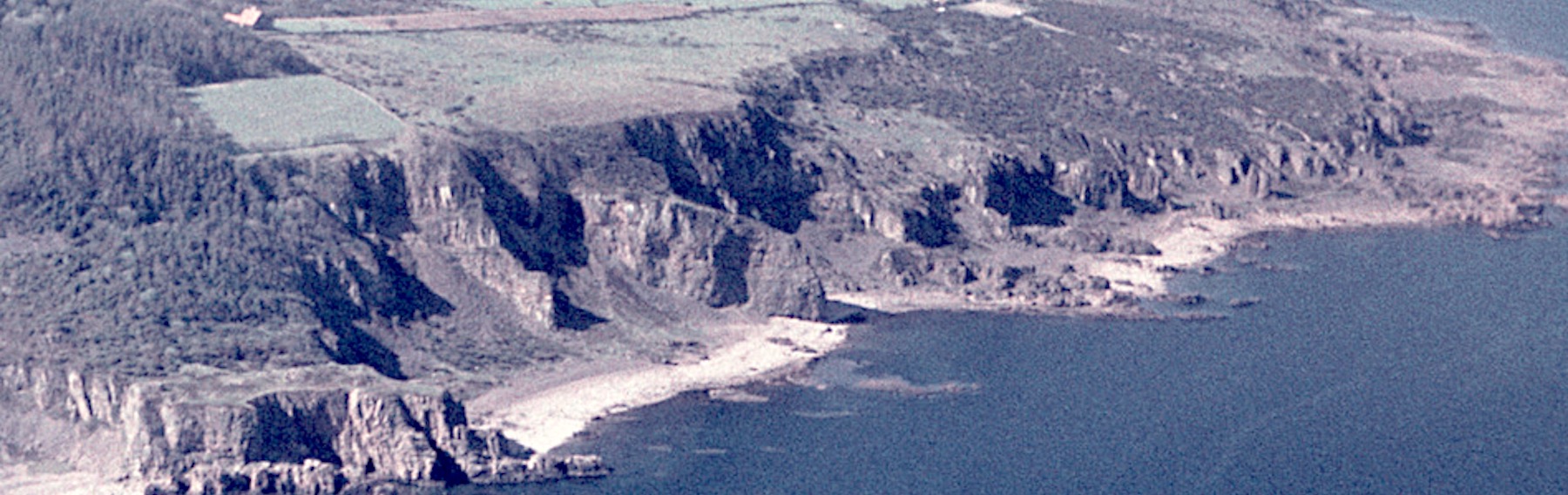
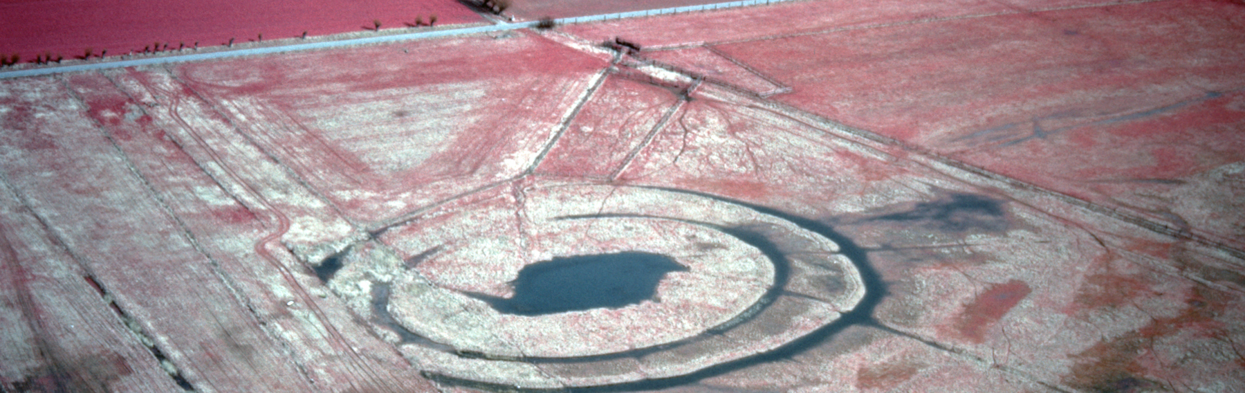
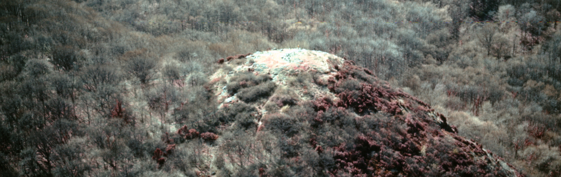
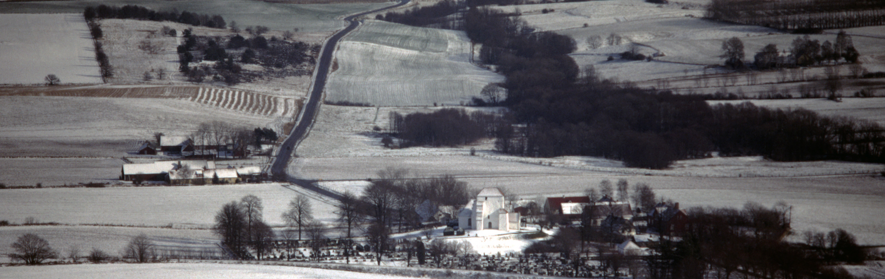

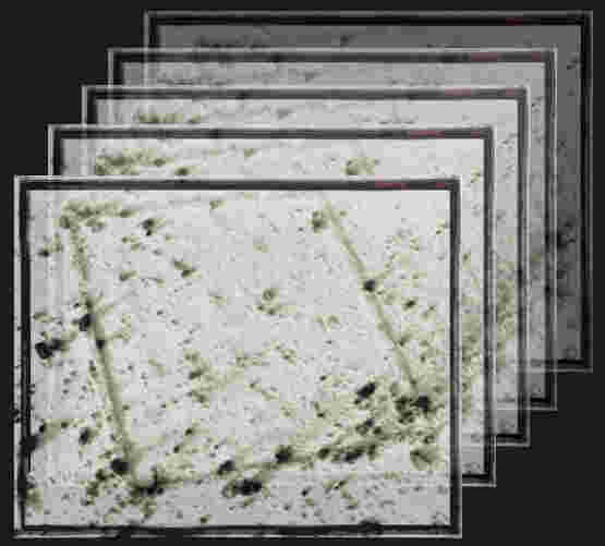
An image holds a substantial amount of data that can be analysed for interpretation. While there are sophisticated programs designed for handling extensive datasets in larger projects, these often require significant data processing power. In THE LAB, however, we provide a simplified program that allows users to filter selected images in multiple ways, enabling the interpretation of content based on various parameters.
THE LAB also allows the reader to study selected pictures alongside Digital Maps and satellite images. Together, these resources constitute a powerful primary research tool for examining a place, a landscape, an object, etc., enhancing understanding, locating the spot, or even using satellite images to discover new information or observe changes that have occurred over time.
THE LAB also allows the reader to study selected pictures alongside Digital Maps and satellite images. Together, these resources constitute a powerful primary research tool for examining a place, a landscape, an object, etc., enhancing understanding, locating the spot, or even using satellite images to discover new information or observe changes that have occurred over time.
THE LAB is free to use. If you wish to work with multiple pictures simultaneously and save them for future studies, this option is available for iFELLOWS - read more about iFellowship here.
THE LAB also allows the reader to study selected pictures alongside Digital Maps and satellite images. Together, these resources constitute a powerful primary research tool for examining a place, a landscape, an object, etc., enhancing understanding, locating the spot, or even using satellite images to discover new information or observe changes that have occurred over time.
THE LAB also allows the reader to study selected pictures alongside Digital Maps and satellite images. Together, these resources constitute a powerful primary research tool for examining a place, a landscape, an object, etc., enhancing understanding, locating the spot, or even using satellite images to discover new information or observe changes that have occurred over time.
THE LAB is free to use. If you wish to work with multiple pictures simultaneously and save them for future studies, this option is available for iFELLOWS - read more about iFellowship here.
HOW TO WORK IN THE LAB
1
Choose the district of your interest in the PICTURE SERIES here.
2
Note the unique picture number (s) (e.g., EE.0123) displayed below each picture.
3
Use the unique picture number to search for the actual picture in THE LAB using the search box.
4
The picture you searched for is now visible in THE LAB, where you can filter or rotate the image to locate the site or place more easily on the Digital Map.
5
In the Digital Map, you can choose between different types of maps or satellite images. Please scroll to the site or place and study it by comparing the image and map; the potential for various forms of studies and discoveries in natural and cultural history is almost endless. Good luck!
Saturation
100%
Brightness
100%
Contrast
100%
Greyscale
0%
Rotate
0°
Zoom
100%
SEARCH FOR AN IMAGE, ABOVE
The IK Foundation & Company Promoting Natural & Cultural History
|
Subscribe to our Newsletter | IK Global iMessenger |
Translate Page |
|
|
© The IK Foundation & Company 2025 - a truly European organisation since 1988 |
Research &
Enterprise
Enterprise
The IK
Workshop Society
Workshop Society
The Field
Station Lab
Station Lab
How to cite & Creative Commons
You are welcome to use the information and knowledge from
The IK Workshop Society, as long as you follow a few simple rules.
LEARN MORE & I AGREE
You are welcome to use the information and knowledge from
The IK Workshop Society, as long as you follow a few simple rules.
LEARN MORE & I AGREE
